GIS Oil and Gas applications
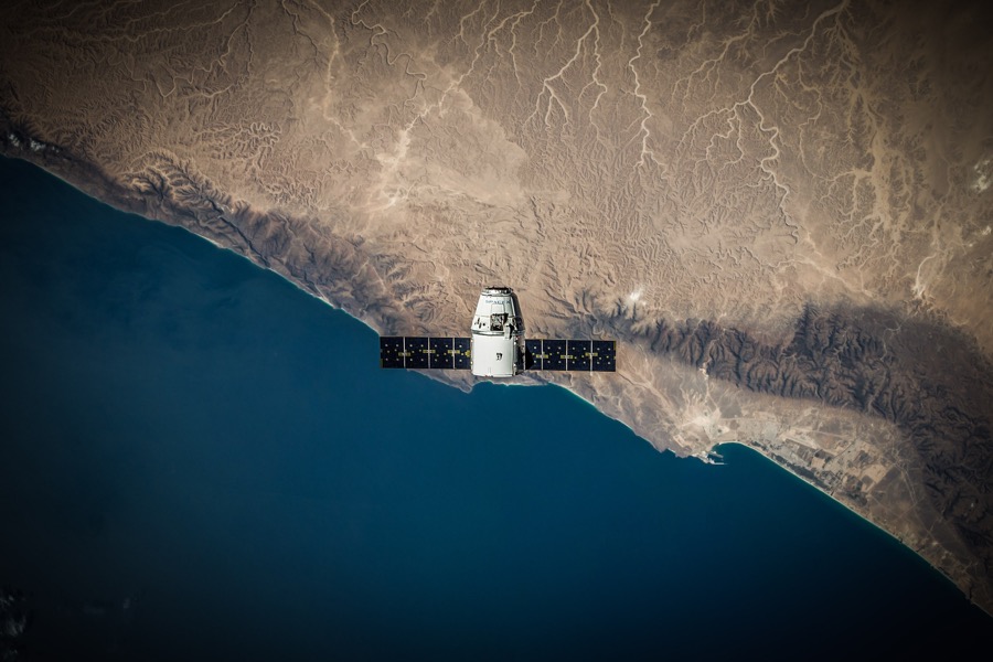
A geographic information system (GIS) is a system of storing, collecting, interpreting and presenting data that is specific to geography. GIS oil and gas applications include:
Oil and gas data sets are often highly geographic in nature, and perfect for being displayed in an overlaid visual manner.
For oil and gas pipeline and exploration plans, important factors such as environmental or geographic concerns can be mapped over the simulated infrastructure to help everyone understand the implications.
Asset management can be tracked and organised from a visually clear perspective. Everyone in the logistics team can see the relative distances and terrain between coordinates. Other information such as lease boundaries can be overlaid and implications such as a potential SIMOP can be seen.
Geohazard or supply route data can be overlaid, allowing a series of flexible views of a project.
This revolutionary system is designed to effectively enable spatial analysis and management of quite large datasets and then present it in various, functional ways, including maps or graphical form to help visualise and consolidate data better.
It has multiple benefits for the oil and gas industries and it can be applied across several key areas including spatial information and cartography, land surveying, remote sensing and photogrammetry, engineering and mining surveying and hydrography.
GIS are designed ‘…to create new knowledge and awareness so that utility employees can make better decisions, communicate those decisions more clearly, and be able to deploy resources in a more coordinated way.’
This kind of data system is particularly useful for organisations as the industry often spans great distances and can occupy a lot of resources and people power to get the same data required. With GIS, there’s the ability to get more and better data, across the world at an incredible speed.
Additionally, maps of data available are presented in an easy to understand manner, so that time spent searching data and locating the necessary information is significantly reduced. This ensures that the data is presented much better and clearer and is not just available but actually usable.
1) GIS makes for better decision making
Essentially, it improves critical business processes that involve spatial components and aids in enhanced decision making from all angles.
It ensures that all strategic business decisions can be data driven, with accurate and plentiful data, rather than just guessing. Leading to much better results and meeting objectives quicker and at a lower cost.
It is particularly effective in automating workflows and refining labour processes by finding faster routes, less troublesome and safer designated areas as well as identifying and mitigating risks ahead of time.
UPS is a solid example of a company that has saved significant amounts of money via route optimisation. ‘… from 2004-2012 estimated it had saved about 38 million litres of fuel by making sure its drivers did not spend time idling while waiting to turn against the flow of traffic.’
In addition to cost saving, condensed transport and operational time will also have a positive ecological impact as we see reduced emissions and less fuel consumption.
2) GIS gives you real time data
GIS provides faster response times, particularly in emergency or high risk situations, such as oil spills, gas leaks or severe power outages as well as the ability to onshare this information with emergency services and members of the public.
Communication with first responders will be improved and with more accuracy in the information retrieved and can be provided immediately, no matter the location of the worker.
Faults and errors along the network can be picked up in real time, allowing for a more accurate and rapid response and restoration.
‘The cost savings is not just on the economic development side. GIS usage saves time and costs on the business end as well by providing real-world data under one roof. Site seekers can take a virtual tour without ever leaving the office.’
3) Terrain assessment is easy with GIS
The primary focus of GIS is to remotely ascertain geographical aspects, predominantly a terrain assessment. By centralising copious amounts of land management data, it’s incredibly useful when reporting and assessing. Especially when it comes to evacuation planning, natural resource extraction and sharper forecasting to adhere to environmental conservational requirements.
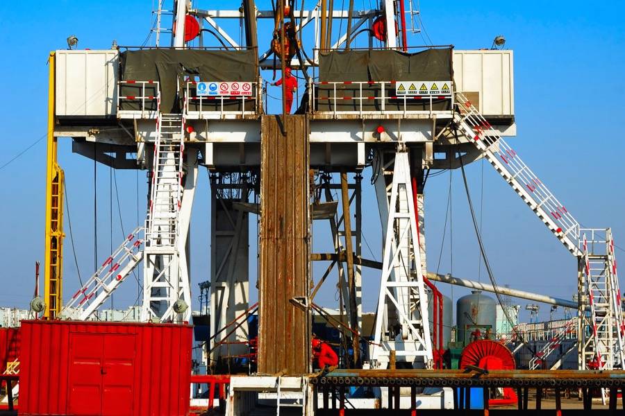
This can also be advantageous when planning key operations such as drilling configuration or pipeline routing and construction and other operational executions that are affected by the physicality of the environment. This can result in weighty cost savings.
Logistical solutions can be planned and implemented proactively and preemptively if precise geographical data can be assessed, preventing catastrophe or high risk situations.
4) Maintenance and monitoring can be done remotely with GIS
Industrial equipment and transportation play a key part in the efficiency and robustness of the supply services. Every second the equipment is unusable, is a cost that can deeply affect the business.
With modern GIS technology, the ability to not only track maintenance, damage and repair issues in real time and then deploy the correct maintenance procedures in a timely manner but to be able to predict such instances can result in meaningful cost savings and profit. Not to mention the reduction of stress levels in personnel.
The Deloitte Industry 4.0 report tells us that 74% of executives believe mobile technologies can prevent such failures.
Communicating with appropriate managers, maintenance crews and transport staff at the time of the event and being able to order the correct parts and tools at the same time, will only lead to confident results.
5) GIS enables enterprise mobility
Enterprise mobility is a progressive way of working that allows employees to work remotely without sacrificing their access to shared data and files and internal documents. GIS easily supports greater enterprise mobility which is encouraged by undeniable statistics including a sixty three per cent increase in cost savings and a fifty one increase in productivity.
6) GIS makes things safer
Given the nature of the industry and most ground sites within it, the safety of employees is of high precedence. With the use of mobile technologies, companies can increase the safety of everyone involved and reduce the likelihood of being present at high risk situations by allowing the technology to provide the information required to improve maintenance and repair systems.
Protecting employees’ safety is a huge psychosocial advantage and huge cost saving device.


